산행시작 시간과 장소: 오전 8시, Chantry Flat Parking Lot
만나는 시간과 장소: 오전 7시 30분, Arcadia REI Parking Lot
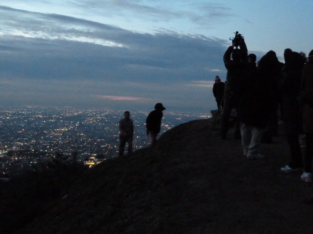
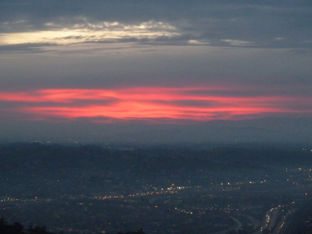
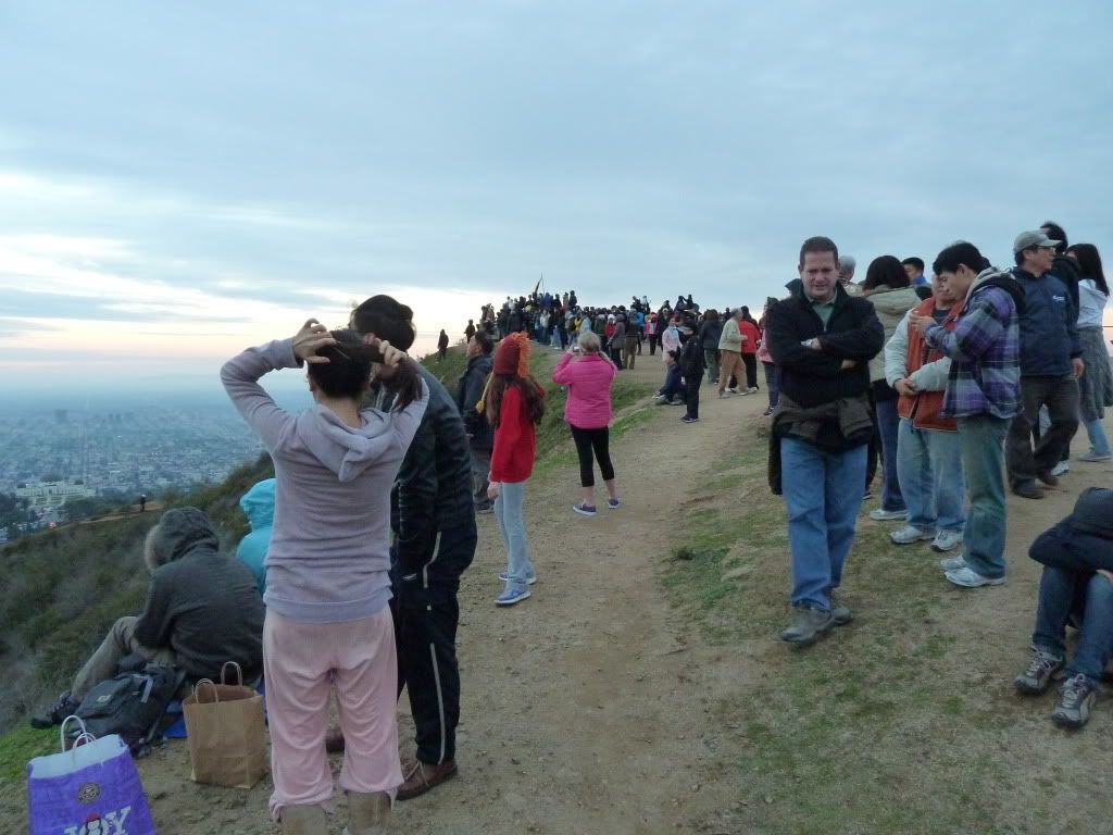
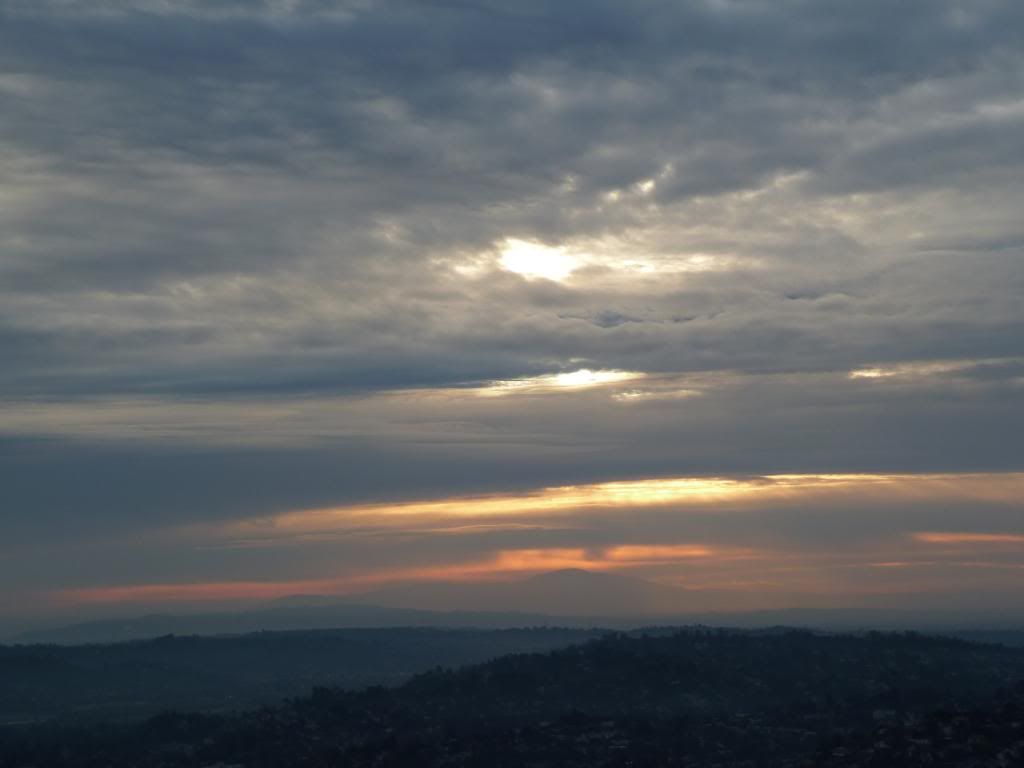
지난산행 사진: Icehouse Canyon/ Mt Timber
Jan 27, 2013
Jan 20, 2013
1/26 Icehouse Canyon
만나는 곳과 시간: Icehouse Parking Lot에서 오전 8시
지난 산행사진 (Stone Canyon-Mt Lukens-Haines Canyon)

지난 산행사진 (Stone Canyon-Mt Lukens-Haines Canyon)

Jan 14, 2013
1/19 Mt Lukens via Stone Canyon
만나는 곳과 시간: La Canada town center mall parking lot에서 오전 7시30분
Stone Canyon Trail 위치:
Wildwood Picnic Area
2420 Stonyvale Rd Angeles National Forest, Tujunga, CA 91042
latitude: 34.294383, longitude: -118.240724
Haines Canyon Trail: (아래는 Street parking할 수 있는 trailhead에서 가장 가까운 곳의 주소)
10300 haines canyon ave, tujunga, ca
(근처 sign을 확인하고 parking 한 후, Haines Canyon ave north 쪽으로 500ft 쯤 걸어올라가면
조그만 호수 옆으로 trailhead가 보임)
(Trail map) (A)혹은 (C)지점에서 시작해서 정상(B)까지 왕복을 하는 방법도 있겠고, A-B-C 혹은 C-B-A의 경로로 종주하는 방법도 재미있을 것같습니다.
A: Wildwood Picnic Area/ Stone Canyon Trailhead
B: Mt Lukens Summit
C: Haines Canyon Trailhead
(La Canada town center mall parking lot에서 Wildwood Picnic Area까지, 16.4 마일/ 25분)
View Larger Map
(종주하는 경우, La Canada에서 출발, Haines Canyon에 차 한대 세워두고 (13분 소요), Stone Canyon으로(18분 소요) )
A: La Canada town center Parking Lot
B: Haines Canyon Trailhead
C: Stone Canyon Trailhead
View Larger Map
참고자료:
http://www.summitpost.org/mount-lukens-via-stone-canyon-trail/406907
http://www.modernhiker.com/2007/03/06/hiking-mount-lukens-via-stone-canyon/
Distance: 9.2 miles, roundtrip. About 8 if you start from the parking lot.
Elevation Gain: 3500 feet. About 3200 if you start from the lot.
Time: 5 hours with breaks. 3 hours and 38 minutes without stopping.
Trail Condition: Excellent, once you find it. From the parking lot, continue east along the rocky river bank, looking for a brown metal post. Ford the river wherever you’re most comfortable doing so, then stick close to the river and continue east until you see the clearly marked Stone Canyon Trail.
- How to Get There: It’s at the corner of Big Tujunga Canyon and Doske Roads in the Angeles National Forest, about 6 miles from Foothill and Gleason in Sunland. An Adventure Pass is required.
Stone Canyon Trail 위치:
Wildwood Picnic Area
2420 Stonyvale Rd Angeles National Forest, Tujunga, CA 91042
latitude: 34.294383, longitude: -118.240724
Haines Canyon Trail: (아래는 Street parking할 수 있는 trailhead에서 가장 가까운 곳의 주소)
10300 haines canyon ave, tujunga, ca
(근처 sign을 확인하고 parking 한 후, Haines Canyon ave north 쪽으로 500ft 쯤 걸어올라가면
조그만 호수 옆으로 trailhead가 보임)
(Trail map) (A)혹은 (C)지점에서 시작해서 정상(B)까지 왕복을 하는 방법도 있겠고, A-B-C 혹은 C-B-A의 경로로 종주하는 방법도 재미있을 것같습니다.
A: Wildwood Picnic Area/ Stone Canyon Trailhead
B: Mt Lukens Summit
C: Haines Canyon Trailhead
 |
| Trails to Mt Lukens |
 |
| A-B-C 경로를 택한 경우의 profile |
(La Canada town center mall parking lot에서 Wildwood Picnic Area까지, 16.4 마일/ 25분)
View Larger Map
(종주하는 경우, La Canada에서 출발, Haines Canyon에 차 한대 세워두고 (13분 소요), Stone Canyon으로(18분 소요) )
A: La Canada town center Parking Lot
B: Haines Canyon Trailhead
C: Stone Canyon Trailhead
View Larger Map
참고자료:
http://www.summitpost.org/mount-lukens-via-stone-canyon-trail/406907
http://www.modernhiker.com/2007/03/06/hiking-mount-lukens-via-stone-canyon/
Distance: 9.2 miles, roundtrip. About 8 if you start from the parking lot.
Elevation Gain: 3500 feet. About 3200 if you start from the lot.
Time: 5 hours with breaks. 3 hours and 38 minutes without stopping.
Trail Condition: Excellent, once you find it. From the parking lot, continue east along the rocky river bank, looking for a brown metal post. Ford the river wherever you’re most comfortable doing so, then stick close to the river and continue east until you see the clearly marked Stone Canyon Trail.
- How to Get There: It’s at the corner of Big Tujunga Canyon and Doske Roads in the Angeles National Forest, about 6 miles from Foothill and Gleason in Sunland. An Adventure Pass is required.
Jan 6, 2013
1/12 Icehouse Canyon
산행지: Icehouse Canyon
Trailhead 4900'
Icehouse Saddle 7555'
Timber Mount 8303'
Total gain/loss (등산고도) Icehouse Saddle:2655', Timeber Mount: 3403'
Gain/loss per mi. (마일당 등산고도) 700+'
Icehouse Canyon Parking Lot까지 가는 길 (click)
지난산행사진: Mt Wilson (Chantry Flats-San Olene Fire Rd-Goat Trail-Santa Anita Ridge-Manzanita Ridge (bench)-Mt Wilson-Manzanita Ridge-Winter Creek Trail-Upper Winter Trail-Chantry Flat)
- 만나는 곳: Icehouse Canyon Parking Lot
- 만나는 때: 오전 8시 15 분
- 유의할 점: Adventure Pass
Trailhead 4900'
Icehouse Saddle 7555'
Timber Mount 8303'
Total gain/loss (등산고도) Icehouse Saddle:2655', Timeber Mount: 3403'
Gain/loss per mi. (마일당 등산고도) 700+'
Icehouse Canyon Parking Lot까지 가는 길 (click)
지난산행사진: Mt Wilson (Chantry Flats-San Olene Fire Rd-Goat Trail-Santa Anita Ridge-Manzanita Ridge (bench)-Mt Wilson-Manzanita Ridge-Winter Creek Trail-Upper Winter Trail-Chantry Flat)
Jan 1, 2013
우리의 지난 산행 발자취 by bluejay
bluejay님이 애써 모아놓으신 지난 사진들입니다. 다시 보니, 여기저기 많이 다녔던 기억이 새롭습니다.
"I assembled some of the photos that shine our hiking journey since the birth of PEAK hikers. So many great memories we shared on the trails and much more to come. Hope you guys enjoy. Happy New Year!" -Bluejay
아래 스라이드는 간략하게 만든 것이고 원래 사진은 다음을 클릭해서 보시면 됩니다.
bluejay album으로 click
"I assembled some of the photos that shine our hiking journey since the birth of PEAK hikers. So many great memories we shared on the trails and much more to come. Hope you guys enjoy. Happy New Year!" -Bluejay
아래 스라이드는 간략하게 만든 것이고 원래 사진은 다음을 클릭해서 보시면 됩니다.
bluejay album으로 click
Subscribe to:
Comments (Atom)