(The fire map included below is from http://inciweb.nwcg.gov/incident/4302/, taken at 9AM on 6/20/2015. For an update and detail info, please link the original site here.


(Trishalee Jernigan's photo from Palm Springs, showing smoke covering the sky. The smoke from Lake Fire is spreading east all the way to Arizona. Click here for more pictures.)

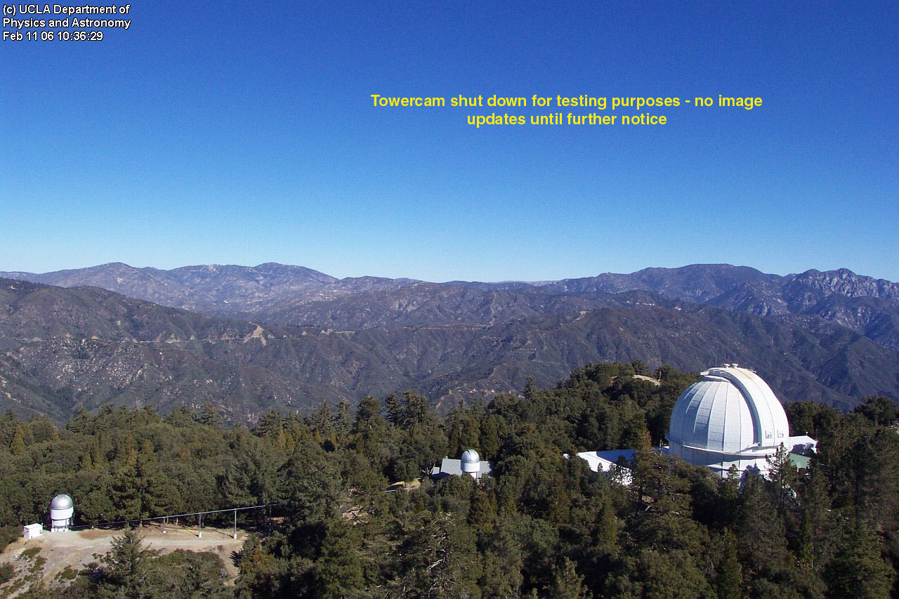
(Mt Wilson's live webcam showing the San Gabriel mountain range about 30 miles west of the wildfire area.)